Boost your team's skills and your budget! Enjoy group discounts for collaborative learning. Send an inquiry to info@peassociations.com.
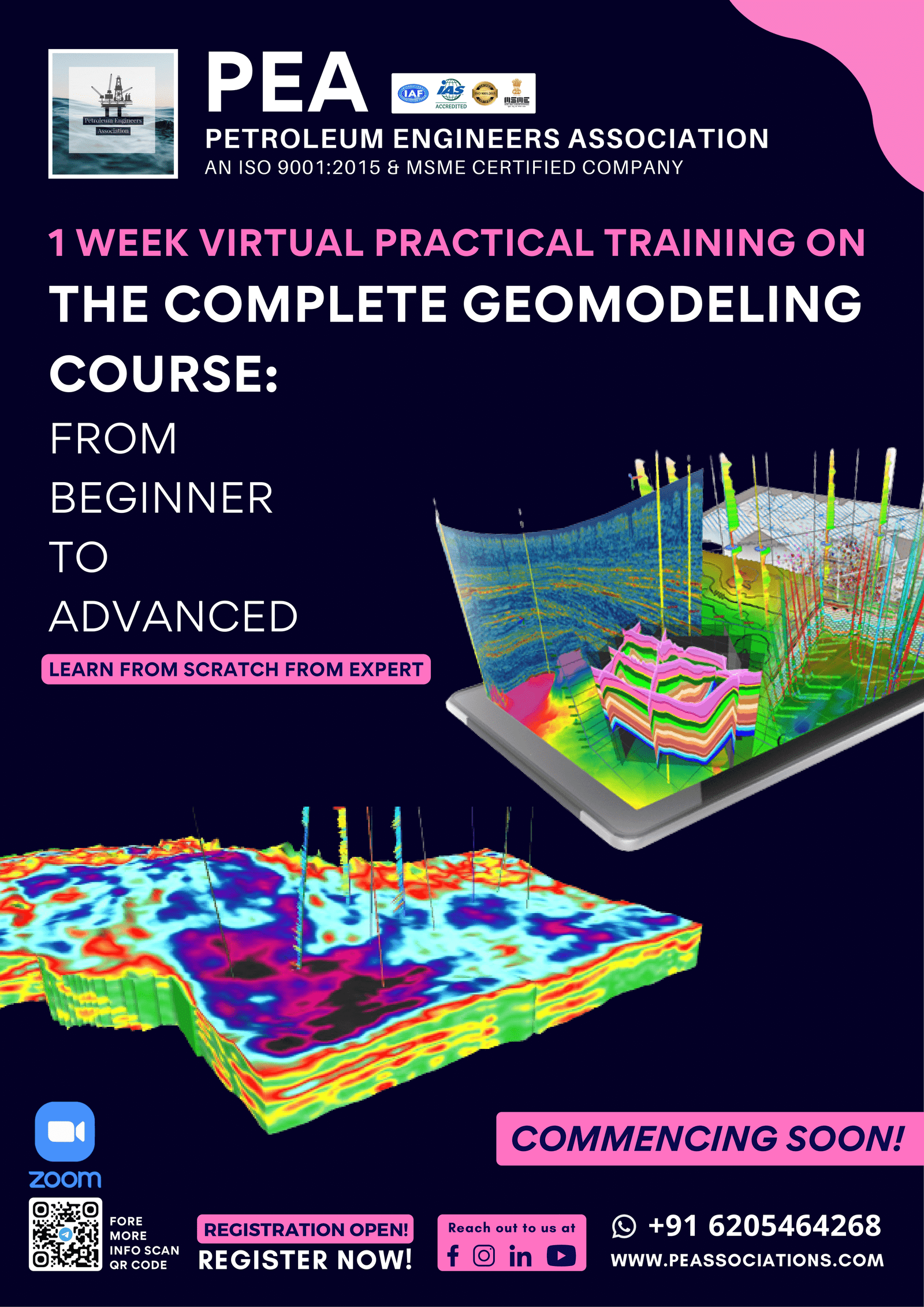
The Complete Geomodeling Course
Description
Geomodeling today is integral to a successful business strategy in most hydrocarbon reservoirs. The sub-surface team uses the Geomodel to render the geologic interpretation into a digital format suitable for input to reservoir simulation software, for resource evaluations, for well planning, as part of uncertainty analysis, and in a variety of decision making processes. A key goal in the Geomodeling practice is to provide digital images of reservoir heterogeneities critical to better understanding the physical hydrocarbon extraction processes, to improve flow models. Geomodels help reveal the impact of the various reservoir multi-scale features on dynamic behaviour.
The course subjects cover a broad scope of geomodeling applicable to most reservoirs. The course intent is to introduce sub-topics with grounding in fundamental theory, in geomodeling thought process, and to place high level topics into their basic integrated context. By the end of the course, each topic will have been defined and discussed and related to general workflows with examples. Many challenges faced by modelers in sub-surface teams will be discussed. Additional reading material will be listed in the notes.
Importance of goemodeling?
Geological models are built for many different
purposes, but common to all of them is a desire to build a representation of
the formation at the subsurface. Geomodeling today is integral to a successful
business strategy in most hydrocarbon reservoirs. The sub-surface team uses the
Geomodel to render the geologic interpretation into a digital format suitable
for input to reservoir simulation software, for resource evaluations, for well
planning, as part of uncertainty analysis, and in a variety of decision-making
processes. A key goal in the Geomodeling practice is to provide digital images
of reservoir heterogeneities critical to better understanding the physical
hydrocarbon extraction processes, to improve flow models. Geomodels help reveal
the impact of the various reservoir multi-scale features on dynamic behavior.
Topics to be defined and discussed:
Introduction of geologic
modeling
Make 2D and 3D surfaces
Stratigraphic and structural
modeling
Petrophysical modeling using
deterministic and stochastic algorithms
Reservoir volumetric
Day 1
Introduction
Software interface
Import data
Day 2
Log Correlation
Create 2D and 3D structure
maps
Create Isopach maps
Day 3
Stratigraphic modeling
Import faults surfaces and
lines
Structural modeling
Day 4
Pillar gridding
Make horizons
Make zones and layers
Geometrical modeling
Upscale well logs
Day 5
Deterministic modeling
Data analysis
Facies modeling
Day 6
Stochastic modeling
Petrophysical modeling
Make contacts
Volume calculation

