


| Code | Date | Time | Duration | Location | Currency | Team of 10 Per Person | Team of 7 Per Person | Early Bird Fee Per Person | Normal Fee Per Person |
|---|---|---|---|---|---|---|---|---|---|
| PYGG25 | 30 Jun - 25 Jul 2025 | 9 PM Indian Time |
2 Hours Per Day
|
Zoom Online
|
USD
|
400
|
450
|
600
|
1250
|
The Classes Will be Via Zoom Online Only On Mon, Wed & Friday for 4 Weeks.
Boost your team's skills and your budget! Enjoy group discounts for collaborative learning. Send an inquiry to info@peassociations.com.
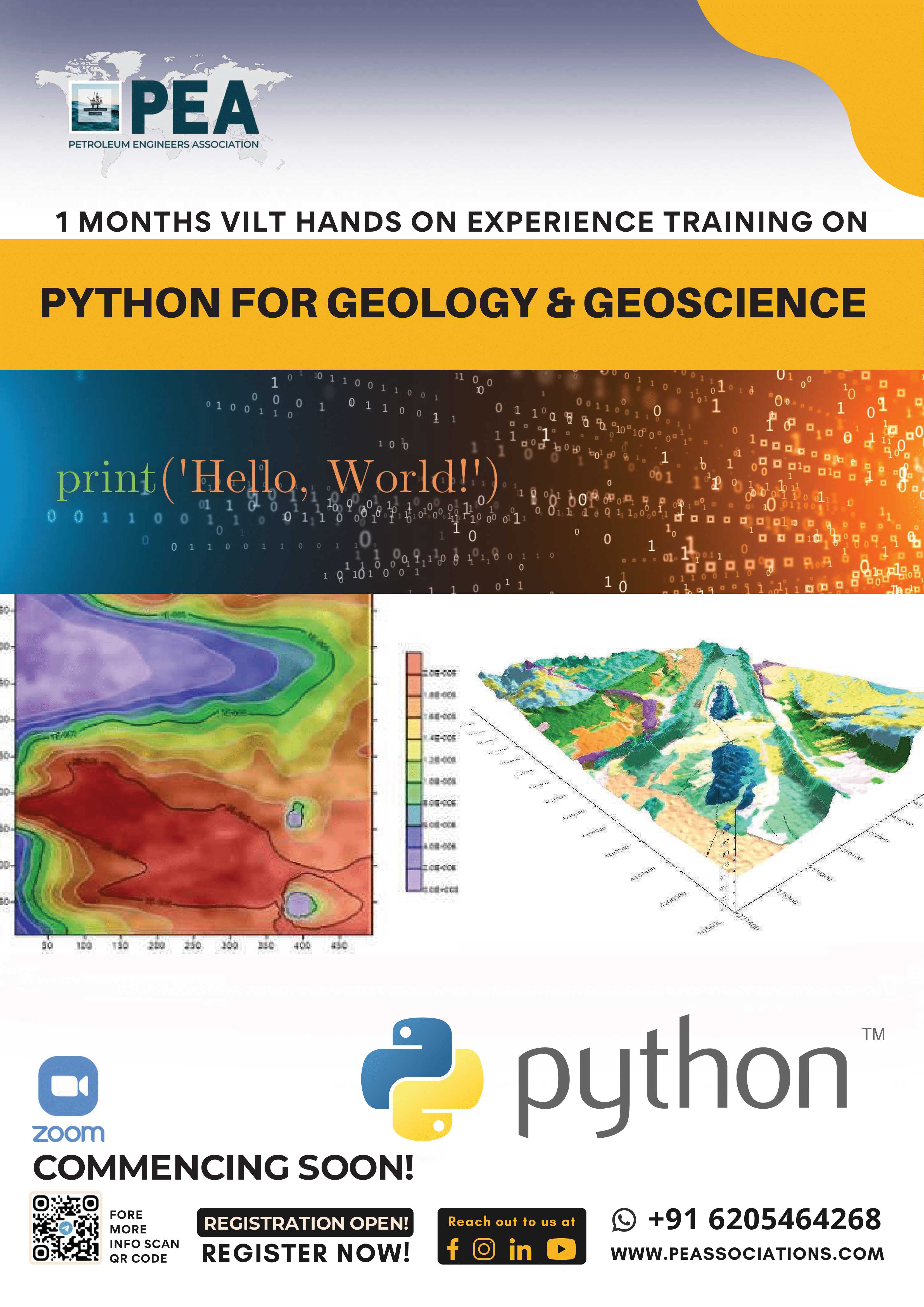
Python For Geology & Geosciences
This comprehensive course provides geologists and geoscientists with a practical introduction to Python programming. Learn to analyze data, create visualizations, and automate tasks, empowering you to make more informed decisions and advance your career.
Description
In the field of Geology, quantitative modeling and simulation of physical phenomena is quickly becoming a necessary tool for all geoscientists to understand how our planet works. Simulating quantitative Geology models make it necessary for all geoscientists to have computer programming skills. Unfortunately, Geology professionals and students alike, at present, have to learn to program on the job which often becomes challenging and stressful.
Demo Class
In today's data-driven world, the ability to analyze and interpret information is crucial for success in the geosciences. Python, a versatile and powerful programming language, has become an essential tool for geoscientists. This course will equip you with the knowledge and skills to leverage Python for a wide range of geoscience applications.
By the end of this course, participants will be able to:
- Understand the fundamentals of Python programming.
- Import, clean, and manipulate geological data using Python libraries.
- Perform statistical analysis and create compelling visualizations.
- Automate repetitive tasks and workflows.
- Apply Python to solve real-world geoscience problems.
This course combines interactive lectures, hands-on exercises, and real-world case studies to ensure a comprehensive and engaging learning experience. Our experienced instructors will guide you through the fundamentals of Python and its applications in the geosciences. You'll have ample opportunities to practice your skills and receive personalized feedback.
By training your geoscientists in Python, your organization will benefit from:
- Increased efficiency: Automate data analysis and reporting processes, saving time and resources.
- Improved decision-making: Gain deeper insights from data through advanced analysis and visualization techniques.
- Enhanced innovation: Develop new tools and methods for geological exploration and analysis.
This course will empower you to:
- Expand your skill set: Become proficient in a highly sought-after skill in the geoscience industry.
- Increase your employability: Gain a competitive edge in the job market.
- Advance your career: Unlock new opportunities for growth and development.
This course is designed for:
- Geologists
- Geophysicists
- Hydrogeologists
- Environmental scientists
- Geoscience students
- Anyone interested in applying Python to geoscience problems
- Using Numpy, Pandas, and Matplotlib libraries for mathematical calculations, data analysis, and plotting.
- Pressure Inside Planets
- Stress Analysis
- Flow through porous media
- Fold-wavelength
On successful completion of this training course, PEA Certificate will be awarded to the delegates
A highly accomplished geologist with expertise in structural geology, tectonics, and field mapping. He has a PhD in Geology from the University of Illinois at Urbana-Champaign and has held several teaching and research positions at prestigious universities in the United States. He is proficient in various geological software and programming languages, including Python, ArcGIS, and MATLAB. He has extensive experience in geological mapping, 3D modeling, and quantitative analysis of geological structures. He has also developed and taught several courses on Python programming for geoscientists.
Our Most Popular Courses