


MATLAB For Earth Sciences
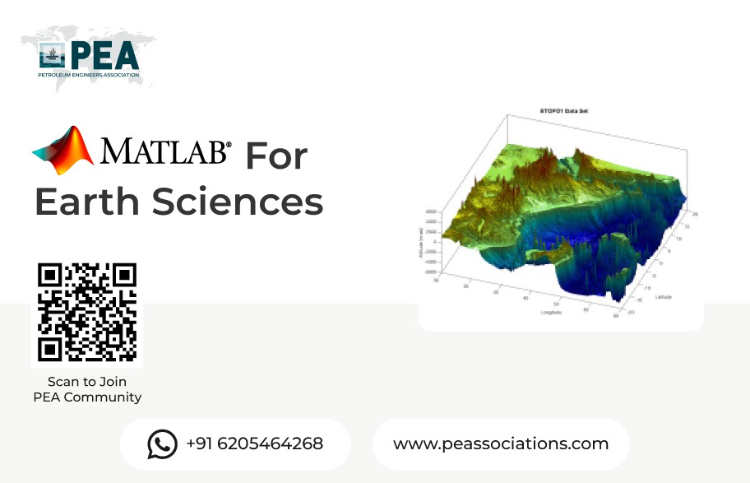
Join our hands-on workshop on MATLAB for Earth Sciences, designed to empower researchers, students, and professionals with powerful computational tools for analyzing and visualizing Earth data. Learn to leverage MATLAB’s robust capabilities for geospatial analysis, data modeling, and simulation to tackle real-world challenges in geology, meteorology, oceanography, and environmental science. This workshop combines expert-led instruction with practical exercises to enhance your skills in data processing and interpretation.
Workshop Objectives
Master MATLAB fundamentals for Earth science applications.
Learn techniques for processing and visualizing geospatial and environmental data.
Develop skills in modeling and analyzing Earth science phenomena.
Apply MATLAB tools to solve real-world problems in Earth sciences.
Gain hands-on experience through practical, industry-relevant exercises.
About the Presenter
A highly accomplished geologist with expertise in structural geology, tectonics, and field mapping. He has a PhD in Geology from the University of Illinois at Urbana-Champaign and has held several teaching and research positions at prestigious universities in the United States. He is proficient in various geological software and programming languages, including Python, ArcGIS, and MATLAB. He has extensive experience in geological mapping, 3D modeling, and quantitative analysis of geological structures. He has also developed and taught several courses on Python programming for geoscientists.
Register Now
View More


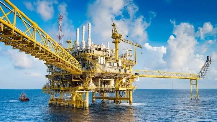
Fundamentals of Well Intervention Operations
This workshop introduces the key concepts and techniques of well intervention operations used to maintain and enhance oil and gas well performance. Participants will learn about various intervention methods, equipment, and safety practices essential for effective well maintenance and production optimization.